


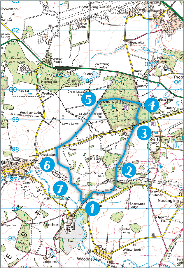
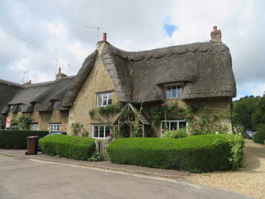
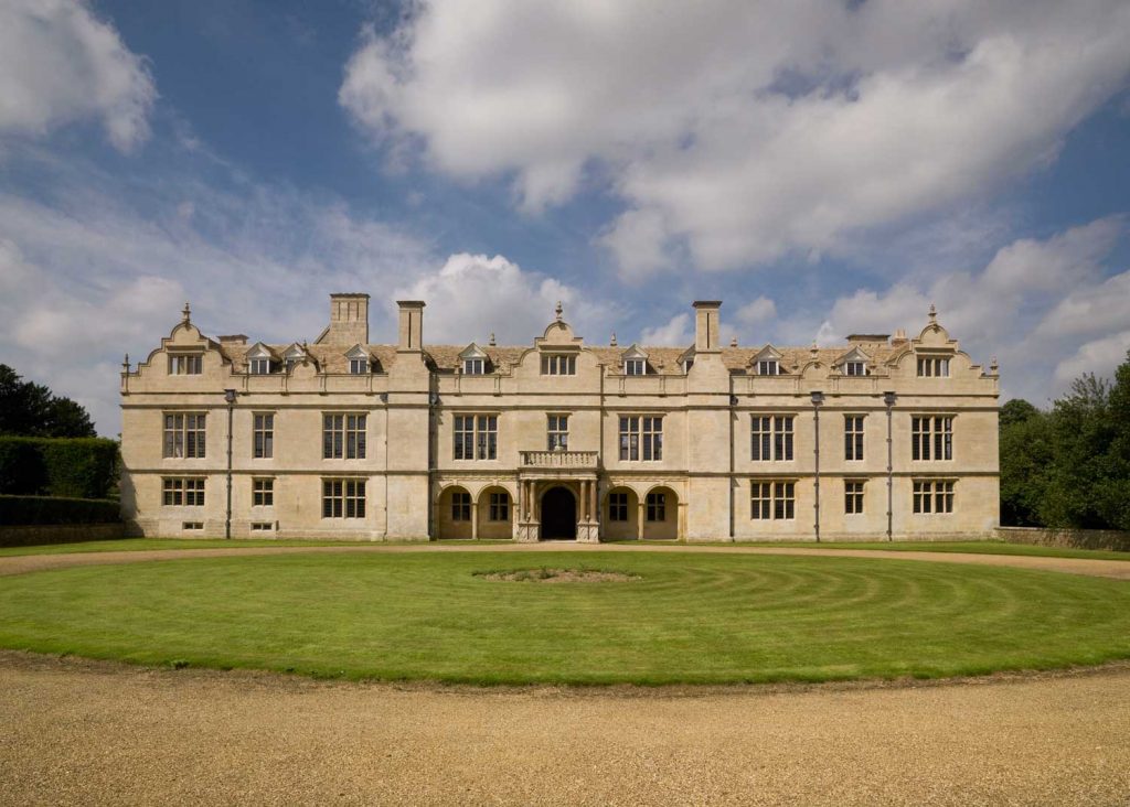
Apethorpe and Bedford Purlieus
21st August 2020
Bedford Purlieus has been described as one of the most flower-rich woods in England. Nicholas Rudd-Jones guides you there on a walk that starts in the pretty village of Apethorpe
KEY DATA
- Distance: 7 miles (11.2 km)
- Height change: 20 metres
- Typical time: 3 hours
- Map: Explorer 234 or Landranger 141
- Start & finish: Lay-by by Apethorpe Bridge (PE8 5DQ)
- Terrain: Straightforward
- Stiles: None
- Getting there: Just south of King’s Cliffe, which is 4 miles west of Wansford
DIRECTIONS
- Set out north east along a bridleway (track) for a mile (do not take the left fork after a few yards; this is the way you will be coming back). Immediately after the second set of buildings on your left, take the path straight on and not the track bearing right. This path soon starts to head more northwards, going into the woods and bearing left over a disused railway line.
- You will soon come out onto Jack’s Green, a large meadow with a gamekeeper’s cottage on the far side and the Glenn Miller memorial 100 metres or so to the left. Proceed along the track, with a quarry on your right, coming out past some industrial buildings onto the King’s Cliffe to Wansford Road (this was Ermine Street in Roman times).
- Turn right, and after a few yards you will see a footpath sign into Bedford Purlieus. Take this, and follow the path through the woods that takes a left and then joins a major ride, where you turn right; follow this north until just before it joins another major track.
- A few yards before this major track turn left (west), roughly following the route of a small stream, crossing it a couple of times. When this track ends, turn right, cross the stream again, and you will soon see a hide on a platform ahead of you. Pass this and after a couple of hundred yards turn left here along a footpath – this will take you to the official exit of the wood.
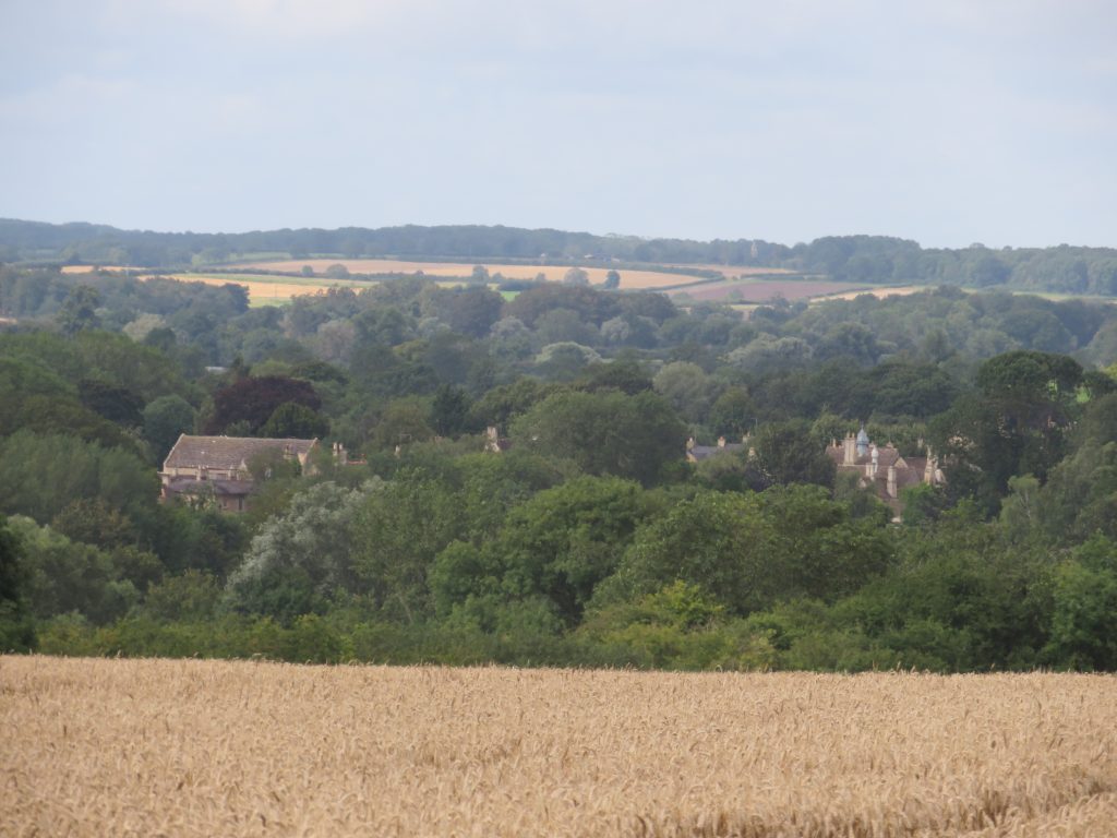
- Take the southwesterly footpath heading out of the wood. At the time of writing this was a narrow but defined path through wheat fields and the going was a little slower. The path goes through several fields and after a mile and a bit reaches the road. Turn right on the road and after a few yards turn left along another footpath heading south.
- After five minutes or so, you enter a field with a wide field boundary with a large hedge on your left. Follow this left to the next field boundary, where once again you will see the path crossing over a field, this time much better marked. Follow this, and it will take you down under the disused railway line.
- Immediately after the tunnel turn left, follow the field edge for a hundred yards, keeping your eyes peeled for the arrow that points southeast across a field back towards Apethorpe. You will shortly re-join the track that you started on and you can then return to the start.
POINTS OF INTEREST
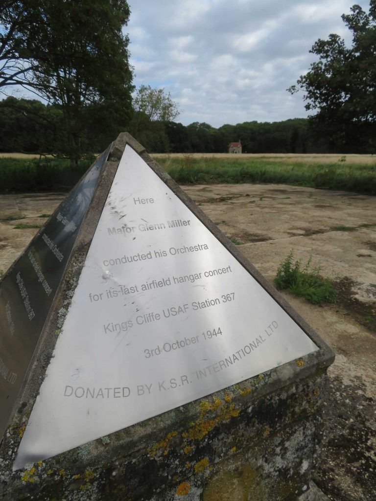
Jack’s Green
About 100 metres to your left as you enter Jack’s Green (Point 2), you will see a small memorial on a pyramid topping a stone plinth. This was the spot where in October 1944 Glenn Miller and his band put on a hanger concert, their last public performance before the jazz musician disappeared on a cross-channel flight that year.
Bedford Purlieus
Bedford Purlieus is an ancient woodland site that once formed part of the Royal Forest of Rockingham. Oak and ash are dominant, but small-leaved lime, hazel, wych elm, birch and pine are also found here. Muntjac and fallow deer are found at this site, and bird life includes nightingales, red kites, sparrowhawks, kestrels, little owls, tawny owls and long-eared owls. Reptiles here include adders, grass snakes, common lizards and slow worms.
King’s Cliffe Airfield American Memorial
King’s Cliffe Airfield was a World War II Royal Air Force and US Air Force fighter airfield. Between this walk’s points 5 and 6, on the road, marked by a British and American flag, you can see an unusually shaped war memorial to the fallen. It takes the form of two schematic aircraft sections joined by a black polished stone plaque. The right-hand aircraft has the distinctive wing of an RAF Spitfire and the left-hand one the wing of a US Air Force Mustang.
PIT STOPS
Cross Keys Inn King’s Cliffe, PE8 6XA, tel: 01780 470276,
crosskeyskingscliffe.uk. Welcoming pub under relatively new management. Cosy atmosphere and good food.The Post Office 1 West Street, PE8 6XB. General store with lots of useful things, including several pamphlets on local walks in the area.