


Local Walk: Barrowden Round
21st August 2020
Harringworth Viaduct
This is a gem of a walk, with a huge mix of terrain and a pub with a glorious view of the Welland Valley to finish with. Stop whatever you are doing on the next fine day and enjoy this burst of wonderful countryside.
KEY DATA
- Distance: 7.5 miles (12km)
- Typical time: 3 hours
- OS map: Explorer 234 or Landranger 141
- Start & finish: Barrowden Village Green (LE15 8EQ)
- Terrain: potentially muddy at start, steep climb up Shotley Hill
- Stiles: 8, of which only 2 have dog gates
- Getting there: Barrowden is 5 miles E of Uppingham on the A47, then 0.5 miles S
DIRECTIONS
- Park on the green in Barrowden and take the Morcott Road west out of the village. At the first junction turn left towards Harringworth, and after a few yards you will see the path taking off down a drive to the left.
- After 10 yards cross the stile in the fence on the right, leading diagonally across a field towards the disused railway line. Just before coming to the line, follow the path right up the field edge, until you reach a track which takes you across the disused line. Turn immediately right and you have great views of the Harringworth Viaduct as you head west towards it for 0.75 miles.
- On reaching a stile and a metalled track, turn left and cross the bridge over the Welland; then turn immediately right and follow the riverbank for two fields. At the start of the third field, cut across it due south towards the tiny hamlet of Shotley
- Proceed up this tiny road, past a few houses and then along a track between fences. Go through two field gates and then you will begin your ascent up the valley edge.
- As you reach the field boundary at the top of the hill, go left on the south side along the field boundary. This is not marked as a right of way, but it is a permissive path, NB32; pass through a gate in front of you and continue to follow the path, now between fences, until you reach a gate leading into the disused quarry
- On reaching the quarry, turn left along the track along the quarry bottom, and you will soon see the track snaking out of the quarry to your right and heading up towards a coppice. You have now re-joined the public right of way.
- Follow the well-marked grassy track east, over a concrete strip (the old World War II Spanhoe Airfield) and you will reach a field. The path goes straight across this field, aim for the more established coniferous trees, where you join a very solid forestry track.
- Stay on this metalled track as it heads east and north. After 1.3 miles, as you are heading north, you will see a wide grassy track straight in front of you heading up slightly, with an interpretation panel on your left, whilst the metalled track continues to the right.
- Take this grassy track ahead and follow it for about 300 yards before bearing right (due east) for a further 400 yards; on reaching a more defined track with a small white sign with red strip, turn left, and stay on this path due north (do not take the path as it swings right) until you exit the wood onto the Wakerley Rd
- Turn left on the road, go past the new Wakerley quarry on your left and after a few yards the path takes off up some steps to the left behind Wakerley Church and down to Wakerley.
- Take the road through Wakerley village in a westerly direction, until you see a footpath sign directing you right, back to Barrowden; you pass under the disused railway bridge, cross the Welland on a footbridge and the rest is plain sailing!
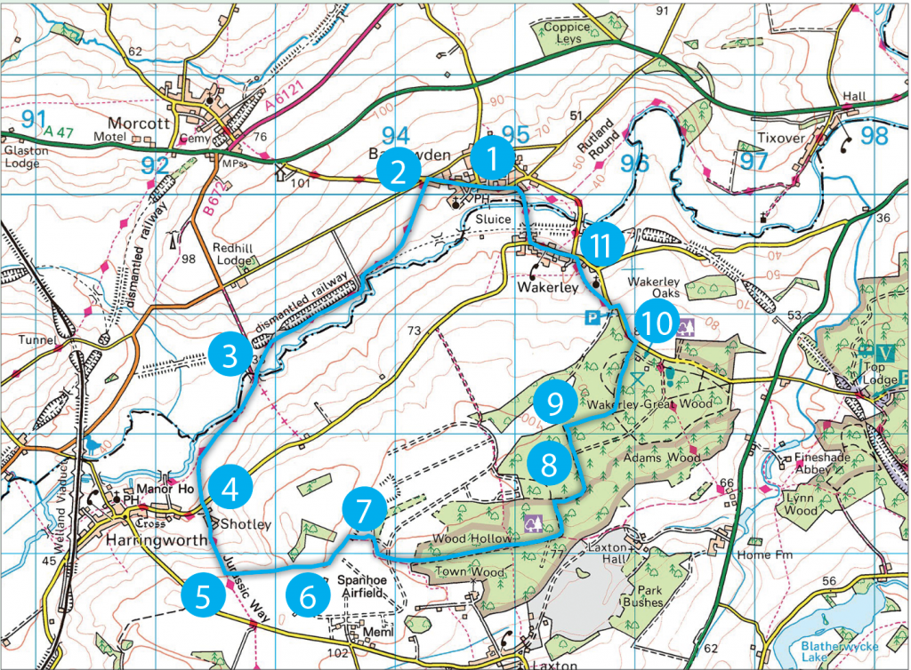
Oak Tree 
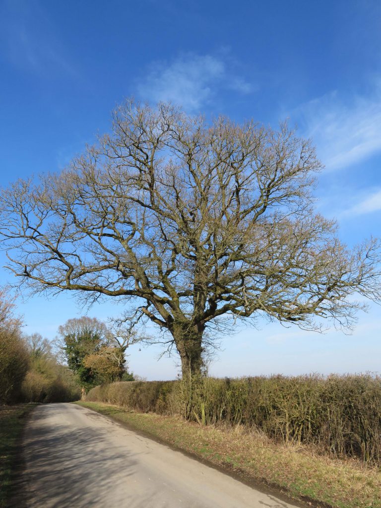
Wakerley Church 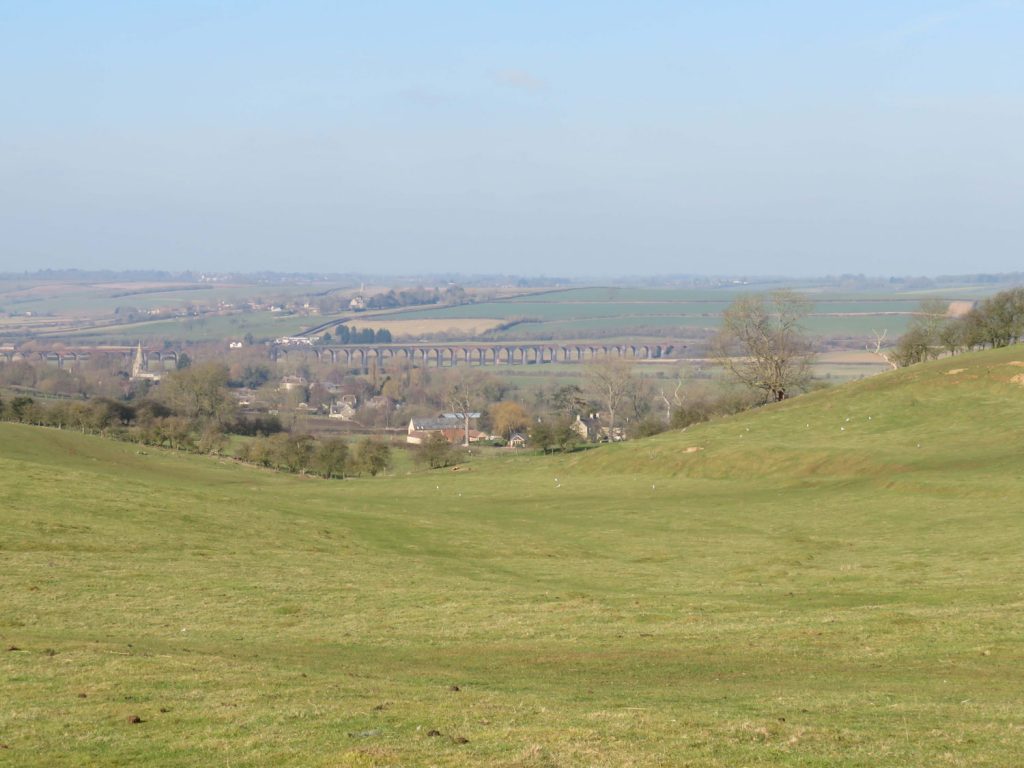
Harringworth Viaduct
POINTS OF INTEREST
Spot the blue plaque commemorating Thomas Cook at West Farm, Barrowden, close to the start of the walk. In 1833 Thomas Cook married Marianne, the farmer’s daughter. In 1841, he hired a train to take some Leicester Temperance supporters to a rally at Loughborough. This turned out to be the start of the Thomas Cook travel agency.
Spanhoe is a disused WW2 airfield. The concrete taxi ways and access routes still exist, and you can see where the runway must have been. The Commanding Officer of US 82nd Airborne division left for Normandy from here the day after D-Day: ‘I climbed heavily up the ladder of the plane that was to take me to France. In the doorway, I turned for one last look at the sweep of the English Midlands, now grown soft and green with spring.’
Wakerley Great Wood is an historic ancient woodland, containing rich and diverse archaeological remains. The oldest features are two rare Bronze Age cairns. The waymarked walk follows the medieval boundary of Wakerley Great Park, remnants of the 13th century deer park.
The curious brick towers at Wakerley were kilns built for calcinating iron ore, built during World War I by German PoWs. Rather amazingly, they are Grade II listed!
PIT STOPS
Exeter Arms, 28 Main Street, Barrowden, LE15 8EQ, 01572 747365, www.exeterarmsbarrowden.co.uk Friendly pub, with great pub grub.
Barrowden & Wakerley Community Shop, Wakerley Road, Barrowden LE15 8EP. 01572 748748